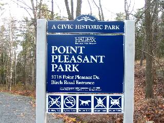
The largest park on the peninsula is Point Pleasant Park, occupying 185 acres of the south tip. Leased to the people of Halifax in 1866 from Queen Victoria for a shilling a year, the park is open year round with numerous walking trails and landmarks. Most of the parks trees were devastated by Hurricane Juan in 2003, but despite the vast changes to the parks appearance it is still an enjoyable destination.
Click here for a slideshow of the area.
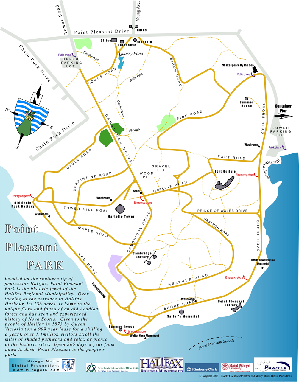
Trail Maps
Map from Trails Nova Scotia.
Another trail map.
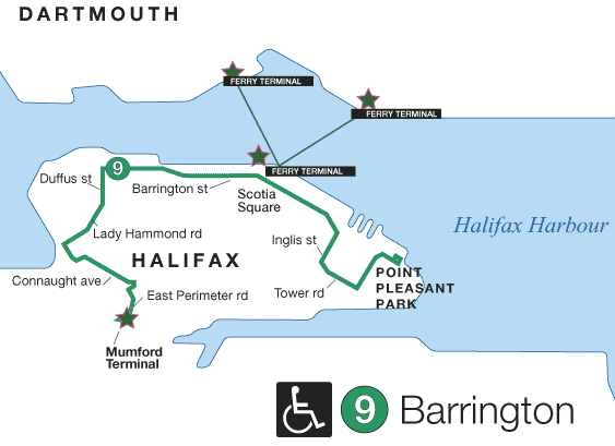
Bus Service
- Route 9
(Map)
(Schedule)
For the entire Halifax-Dartmouth route map click here.
For schedule changes see the Metro Transit website.
Bike Access
On a primary bicycle route. (Halifax Bike Map)
Hours
Open 5am to midnight.