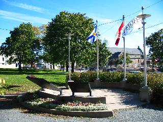
The Hydrostone area was built as relief housing after the Halifax Explosion of 1917. Completed in 1920, it was designed according to the most up to date town planning principles of the time. Constructed of "hydro-stone" concrete blocks, the 325 dwellings were built along realligned streets with wide treed courts. The area was designed by town planner Thomas Adams, and was Canada's first government-assisted housing project. This small green space contains an interpretative display about the area.
Click here for a slideshow of the location.
Trail Maps
None available.
Bus Service
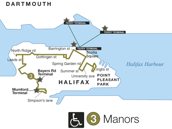
- Route 3
(Map)
(Schedule)
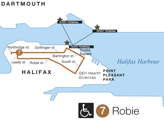
- Route 7
(Map)
(Schedule)
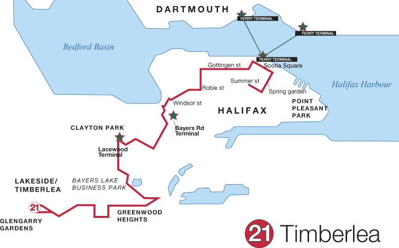
- Route 21
(Map)
(Schedule)
- Route 31
(Map)
(Schedule)
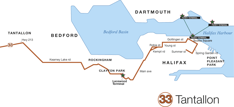
- Route 33
(Map)
(Schedule)
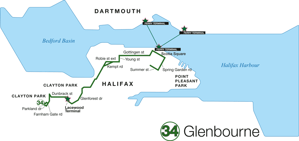
- Route 34
(Map)
(Schedule)
- Route 35
(Map)
(Schedule)
- Route 86
(Map)
(Schedule)
For the entire Halifax-Dartmouth route map click here.
For schedule changes see the Metro Transit website.
Bike Access
On a primary bicycle route. (Halifax Bike Map)
Hours
No restrictions posted.