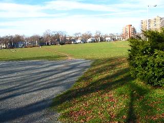
The Halifax Common Park (better known as the Commons) is split into two sections near Citadel Hill. Supporting facilities such as several ball fields, a playground, a scateboard park, open areas to walk, and benches to take a rest, it is rare to find no one using the area.
Click here for a slideshow of the park.
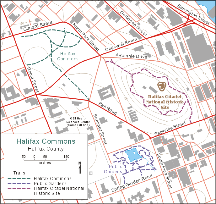
Trail Maps
Map from Trails Nova Scotia.
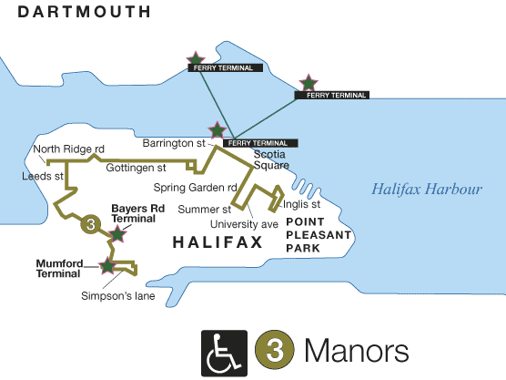
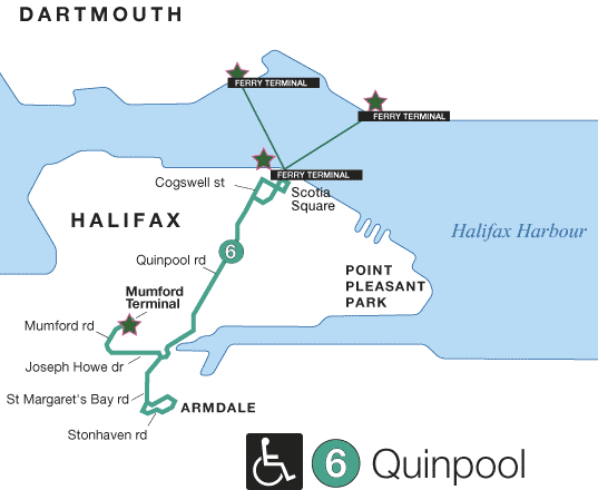
Bus Service
- Route 3
(Map)
(Schedule)
- Route 5
(Map)
(Schedule)
- Route 6
(Map)
(Schedule)
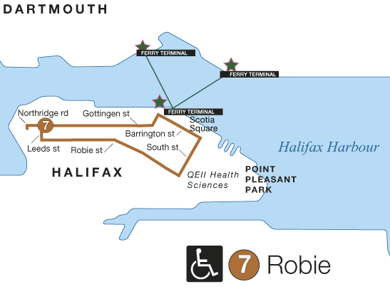
- Route 7
(Map)
(Schedule)
- Route 17
(Map)
(Schedule)
- Route 18
(Map)
(Schedule)
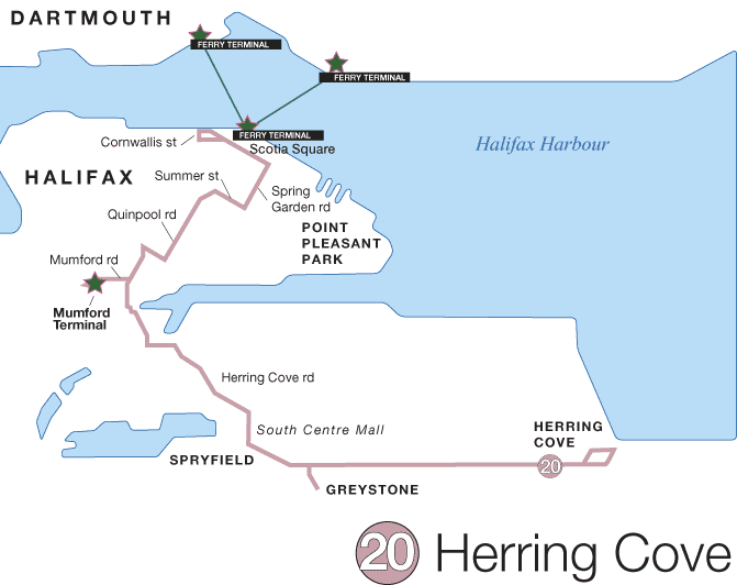
- Route 20
(Map)
(Schedule)
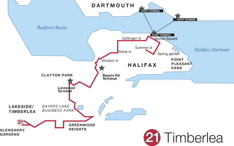
- Route 21
(Map)
(Schedule)
- Route 31
(Map)
(Schedule)
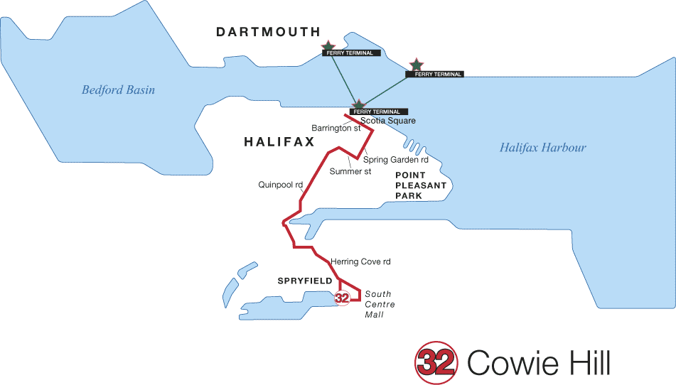
- Route 32
(Map)
(Schedule)
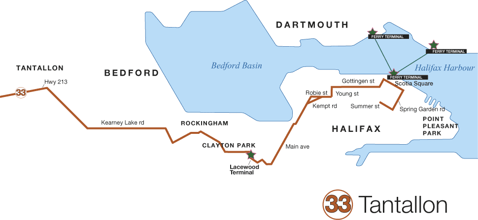
- Route 33
(Map)
(Schedule)
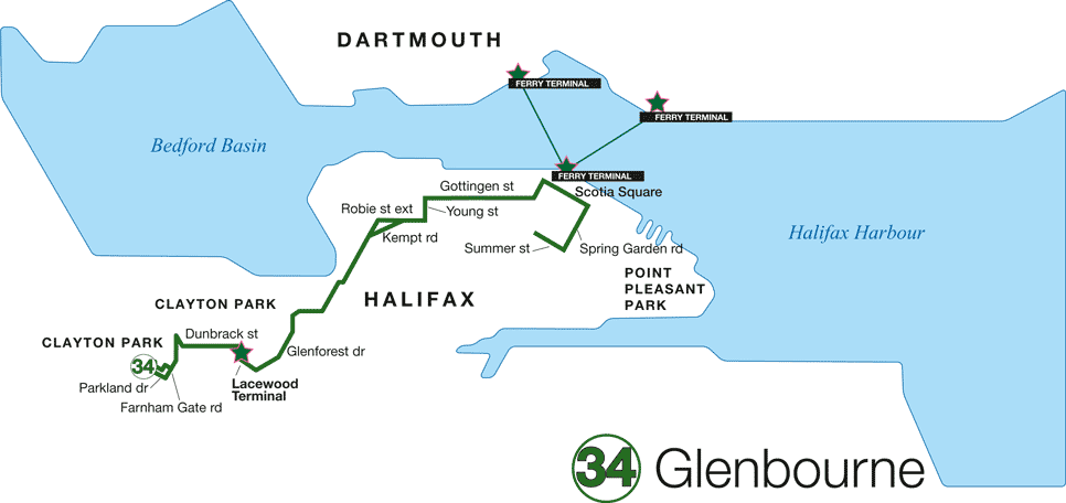
- Route 34
(Map)
(Schedule)
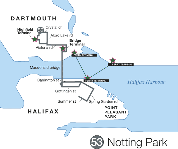
- Route 53
(Map)
(Schedule)
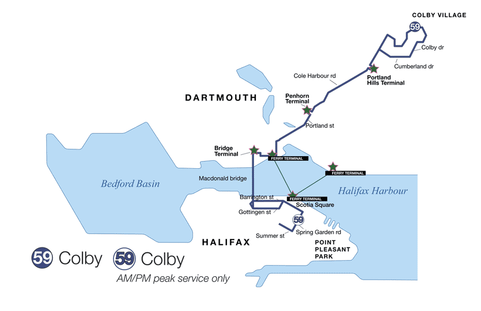
- Route 59
(Map)
(Schedule)
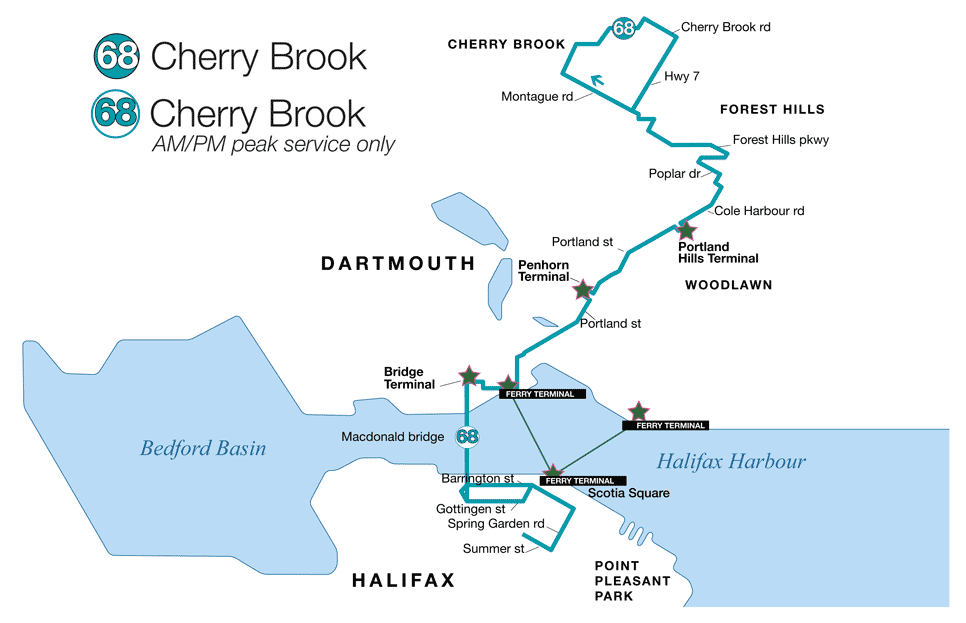
- Route 68
(Map)
(Schedule)
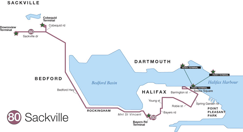
- Route 80
(Map)
(Schedule)
- Route 82
(Map)
(Schedule)
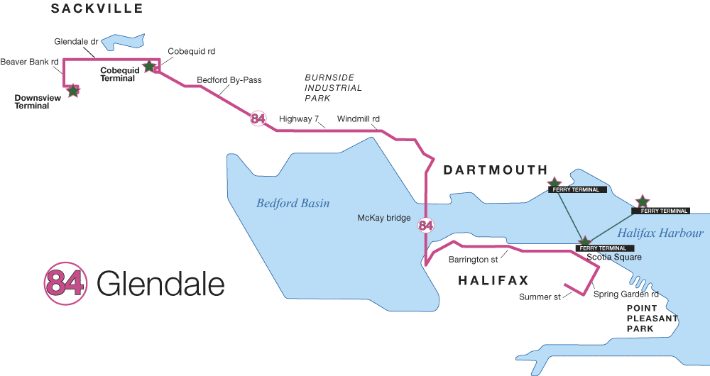
- Route 84
(Map)
(Schedule)
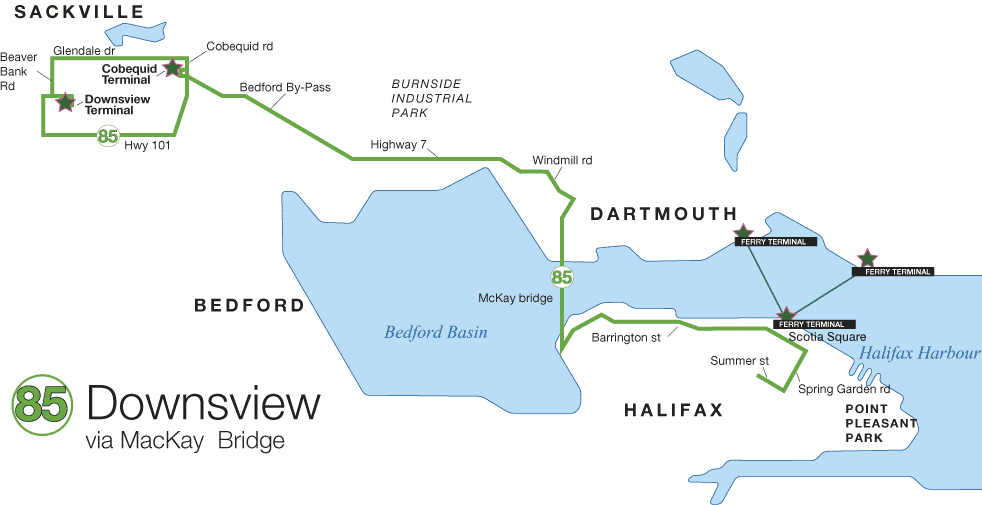
- Route 85
(Map)
(Schedule)
- Route 86
(Map)
(Schedule)
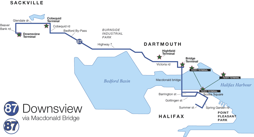
- Route 87
(Map)
(Schedule)
For the entire Halifax-Dartmouth route map click here.
For schedule changes see the Metro Transit website.
Bike Access
On primary bicycle routes with some caution areas. (Halifax Bike Map)
Hours
No restrictions posted.