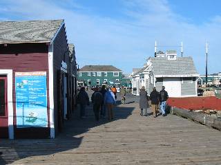
The Halifax Harbour Boardwalk runs from the ferry terminal below Citadel Hill and follows the harbour front to the area below Bishop Street. Small shops, boat tours, and views of Dartmouth and the islands in the harbour are a few of its features.
Click here for a slideshow of the area.
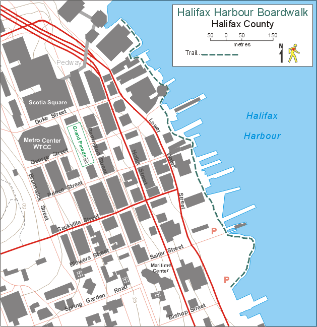
Trail Maps
Map from Trails Nova Scotia.
Bus Service
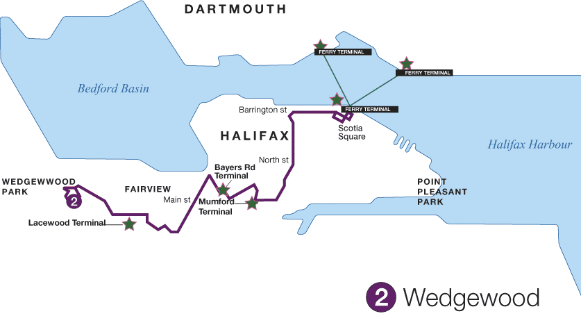
- Route 2
(Map)
(Schedule)
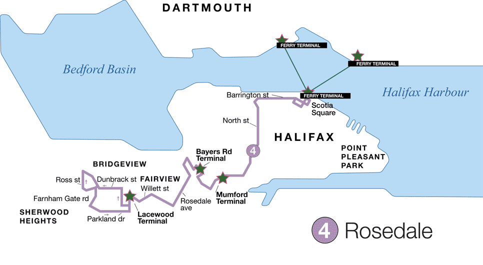
- Route 4
(Map)
(Schedule)
- Route 5
(Map)
(Schedule)
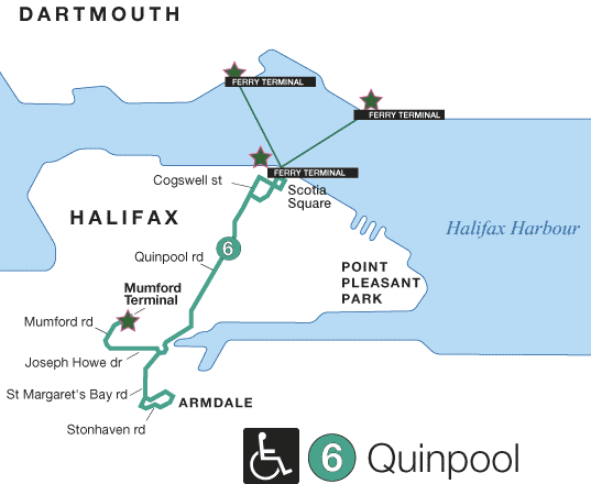
- Route 6
(Map)
(Schedule)
- Route 82
(Map)
(Schedule)
For the entire Halifax-Dartmouth route map click here.
For schedule changes see the Metro Transit website.
Bike Access
On a primary bicycle route. (Halifax Bike Map)
Hours
No restrictions posted.